Free worked examples

Eaglepath worked examples.

Four practical guides showing how to set up a corridor study in Eaglepath for rail, high-voltage transmission, roads and pipelines: design considerations with typical values cited to public sources, suggested layer ratings and weights, and a fully illustrated hypothetical scenario comparing two weighting approaches. Read the summaries below, then request the full PDFs.

The examples

What each worked example covers

Each scenario is set on a synthetic landscape with fictional places. The figures illustrate the method; they are not design or cost data and not Eaglepath screenshots.

Cover of the Eaglepath rail worked example
Rail · 13 pages · PDF

Rail corridor constraints and opportunities

What it covers. How to set up a rail corridor study in Eaglepath: the workflow, rail design considerations with typical values cited to public sources, terrain slope rated as an Engineering layer keyed to the ruling grade, and suggested ratings for constraint and opportunity layers.

Key considerations. Slope is only a proxy for track gradient, so every candidate route needs a profile check for cumulative climb. Keep No-go for genuine fatal flaws so trade-offs stay visible.

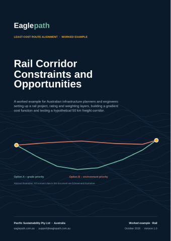
Illustrative scenario. A hypothetical ~50 km single-track freight line from a fictional inland terminal to a fictional port, across a coastal range. The grade-priority option holds the grade via a saddle and an existing branch line, but is longer (63.2 km) and crosses threatened ecological community and State forest. The environment-priority option (54.9 km) avoids both by following a transmission easement, but climbs the range; the profile check flags long sections as cutting or tunnel candidates. All scenario numbers are illustrative, generated on a synthetic landscape.
Cover of the Eaglepath hv transmission worked example
HV transmission · 15 pages · PDF

High-voltage transmission line constraints and opportunities

What it covers. How to set up an overhead HV transmission study: connection points, HV design considerations, why slope is rated on tower sites rather than the line, dwelling distance bands, and opportunity layers such as paralleling existing easements.

Key considerations. People are usually the dominant HV constraint: dwellings, towns, agricultural aviation and aerodromes. The cost surface does not price angle (strain) towers, so the document adds a straightness check.

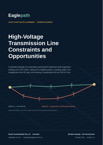
Illustrative scenario. A hypothetical ~80 km 500 kV double-circuit line from a fictional REZ hub to a fictional substation. The cost-priority option follows a gentle farmed valley but passes within 1 km of 51 dwellings. The community-priority option has no dwellings within 1 km, running mostly beside an existing 330 kV line through State forest over higher, steeper ground. The routes are almost the same length, so the choice is about who and what is affected. All scenario numbers are illustrative, generated on a synthetic landscape.
Cover of the Eaglepath road worked example
Road · 17 pages · PDF

Road corridor constraints and opportunities

What it covers. How to set up a road corridor study for a new road, bypass or realignment: fixing the design basis (function, design speed, cross-section, maximum grade, flood immunity), rating slope against the maximum grade, and constraint and opportunity layers.

Key considerations. Dwellings, towns, habitat and fauna movement, floodplains, prime agricultural land and Aboriginal cultural heritage usually decide between feasible corridors. Exported alignments are checked against grade, curve radius and earthworks.

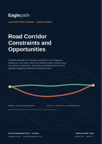
Illustrative scenario. A hypothetical ~40 km rural highway bypass and realignment between two fictional towns (110 km/h design speed, 6 % maximum grade). The engineering-priority option is shorter (about 40 km) and flat, but passes within 500 m of 26 dwellings and takes 25.5 km of prime agricultural land. The community-priority option is about 7 km longer with 9 dwellings within 500 m and 3 km of prime land, at the price of steeper terrain. All scenario numbers are illustrative, generated on a synthetic landscape.

Cover of the Eaglepath pipelines worked example
Pipelines · 17 pages · PDF

Pipeline corridor constraints and opportunities

What it covers. How to set up a buried pipeline corridor study for gas, liquids, hydrogen, water, slurry or CO₂: design codes (AS/NZS 2885 series, WSAA codes), slope rated for construction, the elevation profile, location class and setbacks, crossings and AC interference when paralleling powerlines.

Key considerations. For liquids, high points on the profile set pump head, air valves and surge risk, which the cost surface cannot see. Crossings are counted manually from each exported route for now.

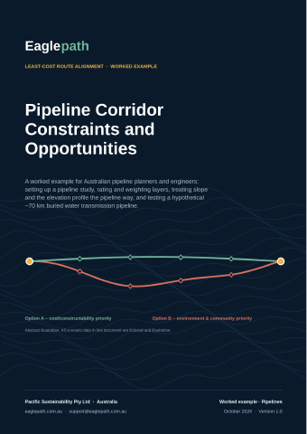
Illustrative scenario. A hypothetical buried water transmission main (DN900 class) between a fictional river offtake and a fictional reservoir about 70 km apart. The cost/constructability-priority option follows the valley floor but passes within 500 m of 17 dwellings. The environment & community-priority option has no dwellings within 500 m, but sidles along a steeper valley flank to higher ground. Similar lengths: the trade-off is people versus ground conditions and pumping. All scenario numbers are illustrative, generated on a synthetic landscape.

Get the full PDFs

Request the worked examples

Tell us who you are and your download links appear straight away. Links are valid for 24 hours.

* Required · We don’t sell your information.
Thanks

Your worked examples are ready

Your personal download links are valid for 24 hours.